Bristol
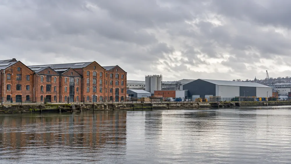
Temple Quarter includes the St Philip’s Marsh area. The River Avon and Feeder Canal form important local corridors. Tell us about bridge clearances and the final approach to your commercial site.
Tool and plant hire enquiries across Bristol, Avonmouth, Portbury, Filton, Yate and nearby commercial districts. Check your site location.
We welcome business hire enquiries from Bristol and the nearby districts below. Delivery and collection depend on equipment availability, access and the agreed quotation.
These local landmarks help identify the area. They do not imply an office, depot or existing client relationship.
Check Your Site LocationTemple Quarter includes the St Philip’s Marsh area. The River Avon and Feeder Canal form important local corridors. Tell us about bridge clearances and the final approach to your commercial site.
Avonmouth Docks form part of the Port of Bristol. The port’s published maps show the M5 and local dock access roads. Include your gate and booking-in instructions for controlled commercial premises.
Royal Portbury Dock sits on the opposite side of the Avon from Avonmouth Docks. The port maps show the M5 approach and dock estate. Confirm the precise entrance and unloading point when requesting plant.
The council lists Filton 20 Business Park on Golf Course Lane. Its transport guidance also identifies the A38 flyover at Gypsy Patch Lane. Provide the final access route rather than relying on a general area name.
Patchway is part of Bristol’s north fringe. Council employment evidence identifies the Rolls-Royce site and land east of the A38 in the Filton and Patchway area. Tell us about any controlled estate access.
Bradley Stoke forms part of the north fringe urban area. The council’s transport programme identifies Bradley Stoke Way alongside the A38 corridor. Add your business park entrance and any unloading restrictions to the enquiry.
Bristol Parkway station and the Abbey Wood/UWE area are grouped with Stoke Gifford in council planning evidence. These distinct destinations make a full postcode useful. Confirm the working compound and the delivery gate.
Bristol & Bath Science Park is identified at Emersons Green. The A4174 Avon Ring Road also serves this part of the east fringe. Explain any occupied-site restrictions before choosing equipment or arranging delivery.
Beeches Industrial Estate and Great Western Business Park are both listed in the council’s employment evidence for Yate. Send the unit location, gate dimensions and your intended hire period for commercial maintenance or groundworks.
Thornbury is a market town in South Gloucestershire. The council’s employment evidence lists Thornbury Industrial Estate. State the commercial premises and postcode so the access and transport requirement can be checked.
Kingswood High Street and the Whitfield Tabernacle are identified in council planning material for the town centre. For commercial work here, explain unloading limits and pedestrian access arrangements as part of the hire brief.
Local context is drawn from South Gloucestershire Council planning evidence, its transport scheme information, Bristol City Council’s St Philip’s Marsh guide and Bristol Port maps.